Garmin Data Reveals Popular Boating Spots
According to data from the Garmin Quickdraw™ Community, here are all the new areas you’ve been exploring.
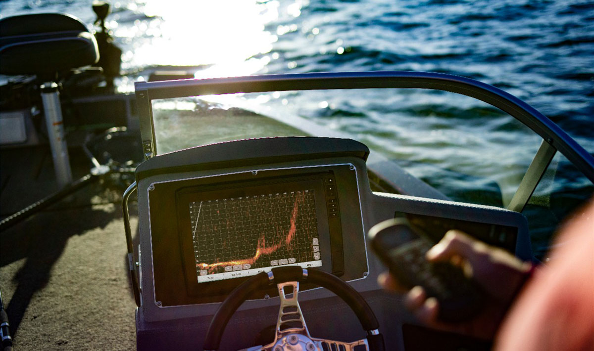
The Garmin Quickdraw Community allows boaters to share custom maps created with the Quickdraw Contours feature on their compatible chartplotter and transducer — and download any maps that others choose to make public via the ActiveCaptain® or Striker™ Cast smartphone apps. It’s an excellent way for mariners to take full advantage of the free Garmin Quickdraw Contours software feature, which encourages users to create personalized HD maps with labeled points of interest — and it also gives us some insight into which locations Garmin customers love the most.
Whether it’s a lucrative fishing hole at Lake Saint Francis in Ontario, Canada, or a favorite spot to anchor down with friends at one of the many bodies of water around Jacksonville, Florida, Garmin boaters regularly save depth data to create custom maps in many areas across the globe. And they are willing to share contour maps and other notable hotspots with you. Below are coastal and inland areas from around the world that saw the most boating activity by Garmin Quickdraw Community users in 2023.
- Ören, Sweden
- Jezioro Lusowskie, Poland
- Suruga Bay, Japan
- Crotone, Italy
- Giżycko, Poland
- Baltieji Lakajai, Lithuania
- Höytiäinen Lake, Finland
- Tampere, Finland
- Siljan, Sweden
- Vistula River, Poland
- Tokyo Bay, Japan
- Lac Saint-Pierre, Canada
- Lake Saint Francis, Canada
- Jacksonville, Florida
Additionally, the data contributed by Quickdraw Contours anglers and boaters helps Garmin enhance its mapping solutions and improve the quality of data about lakes, ponds and boating areas that are most important to you.
Notice a favorite spot that’s missing from this list? You can easily upload and share your Quickdraw Contours map data with your fellow boaters in the ActiveCaptain app. A free, all-in-one app that creates a powerful connection between your compatible mobile device and Garmin chartplotters, charts and the community, ActiveCaptain can also be used to download the latest Quickdraw content and transfer it directly to your compatible chartplotter.