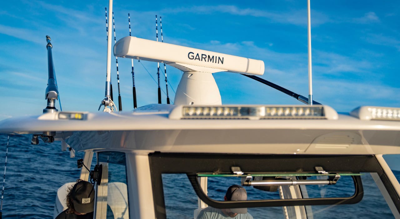
Garmin® and Jeppesen Expand Strategic Agreement
Garmin the global leader in satellite navigation and Jeppesen, a market-leading provider of vessel operations services and digital navigation solutions today announced the expansion of an important strategic agreement in the field of marine cartography.
As a part of the cooperation Jeppesen will provide extended nautical chart content for the benefit of Garmin BlueChart® g2 and g2 Vision® marine GPS navigation products. In this new phase, Garmin will provide its customers with the latest Jeppesen charts for parts of the Mediterranean and the Indian Ocean, in addition to renewed coverage for the Bahamas, and area which Jeppesen has supplied to Garmin for some years.
“As the global leader in satellite navigation we are committed to providing our customers with the best cartography solutions for our marine navigation products”, said Dan Bartel, Garmin’s vice president of worldwide sales. “For this reason, it is an important strategic step to choose Jeppesen, a worldwide leader in navigation solutions and marine charts, as a strategic ally to ensure that Garmin BlueChart customers benefit from the best marine cartography products. Garmin sees a big potential in this cooperation and we are looking forward to extending the cooperation in the 2013 season and beyond.” James Detar, Jeppesen Marine Portfolio Management Director, said: “This expanded arrangement between Jeppesen and Garmin follows on the success of past collaboration between the two companies and reaffirms Jeppesen’s intent to partner strategically in the dissemination of its high quality navigation information.”
Garmin now provides additional Jeppesen electronic charts, licensed for use in Garmin BlueChart products with content for Italy, India and the Bahamas. In Italy, the charts include 440 updated port plans, marinas and other large detail charts all throughout the country, including many new marinas in the Ravenna and Venice areas in Sardinia and Sicily. In India, more than 270 charts have been added, of which, more than 150 are for very large scale charts (1:40,000 or larger), more than 60 charts of intermediate detail (between 1:150,000 and 1:40,000) and more than 50 charts for general overview (scale smaller than 1:150,000). In the Bahamas, the existing chart coverage has been completely replaced by Jeppesen nautical chart content.
The new maps are appearing as Garmin “BlueChart v2012.5” and are available beginning August 1, 2012. For more information on the charts visit www.garmin.co.uk/bluechart
About GARMIN
The global leader in satellite navigation, Garmin Ltd. and its subsidiaries have designed, manufactured, marketed and sold navigation, communication and information devices and applications since 1989 – most of which are enabled by GPS technology. Garmin’s products serve automotive, mobile, wireless, outdoor recreation, marine, aviation, and OEM applications. Garmin Ltd. is incorporated in Switzerland, and its principal subsidiaries are located in the United States, Taiwan and the United Kingdom. For more information visit Garmin's media centre at http://garmin.blogs.com/ukpr. Garmin is a registered trademark and GHP, GHC and GWS are trademarks of Garmin Ltd. or its subsidiaries. All other brands, product names, company names, trademarks and service marks are the properties of their respective owners. All rights reserved.
Notice on forward-looking statements:
This release includes forward-looking statements regarding Garmin Ltd. and its business. All statements regarding the company’s future product introductions are forward-looking statements. Such statements are based on management's current expectations. The forward-looking events and circumstances discussed in this release may not occur and actual results could differ materially as a result of known and unknown risk factors and uncertainties affecting Garmin, including, but not limited to, the risk factors listed in the Quarterly Report on Form 10-Q for the quarter ended June 26, 2009 filed by Garmin with the Securities and Exchange Commission (Commission file number 0-31983). A copy of suchForm 10-Q can be downloaded at www.garmin.com/aboutGarmin/invRelations/finReports.html. No forward-looking statement can be guaranteed. Forward-looking statements speak only as of the date on which they are made and Garmin undertakes no obligation to publicly update or revise any forward-looking statement, whether as a result of new information, future events, or otherwise.
About JEPPESEN
Jeppesen is a market-leading provider of vessel operations services and digital navigation solutions, based on worldwide vector chart data type approved to ISO19879, meteorological information and transmission technologies. Jeppesen offers a wide range of navigation and operations products and services to both recreational and commercial marine markets. Safety-conscious boaters and operators of vessels ranging from coastal to SOLAS class, rely on Jeppesen for innovative navigation solutions that improve safety and efficiency. Jeppesen is a subsidiary of The Boeing Company. Jeppesen corporate information is available online at jeppesen.com.