Garmin announces cutting-edge update for marine GPS
Garmin, the global leader in satellite navigation has announced its latest free software update which will see a range of innovative new features made available on a number of its marine devices.
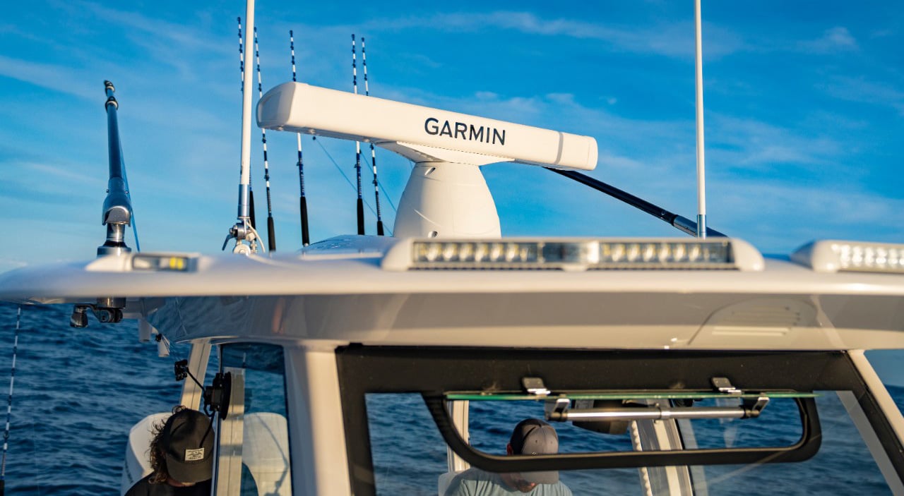
This update is available on a number of Garmin’s multi-function displays (MFDs), chartplotters and combination plotters across the company’s popular GPSMAP and echoMAP marine product lines. Among the new features included in this update is Auto Guidance 2.0, the import of waypoints, routes and tracks via GPX, advanced sailing features, enhanced safety operations, and more.
David Dunn, Garmin’s senior manager of marine sales and marketing, commented: “In an ongoing effort to improve our products and provide our customers with innovative features, we’re excited to offer this significant software update that adds a number of premium capabilities to some of our most popular marine product lines,”
Garmin’s intuitive Auto Guidance has received an upgrade to Auto Guidance 2.0 and offers a whole range of new features and capabilities. The new technology now allows the user to simply enter their desired destination and the technology instantly searches through relevant charts to create a safe path free of obstacles such as shallow water and buoys.
With Auto Guidance 2.0, mariners also get the ability to adjust an Auto Guidance path, review hazards along the way, calculate arrival times, select starting point and save plotted paths for future navigation. Auto Guidance 2.0 is included with the optional purchase of BlueChart® g2 Vision® premium cartography and is available for use on all echoMAP series devices and the GPSMAP 8000, GPSMAP 7400/7600, GPSMAP 8×0/10×0, and GPSMAP 5×7/7×1 product lines.
The ability to import waypoints, routes and tracks from other manufacturer’s GPS products can now be done on all GPSMAP and echoMAP units via industry-standard GPX formatting. With this enhancement, users can retain and transfer their stored waypoints, ensuring critical data is maintained when trading up to a new Garmin product.
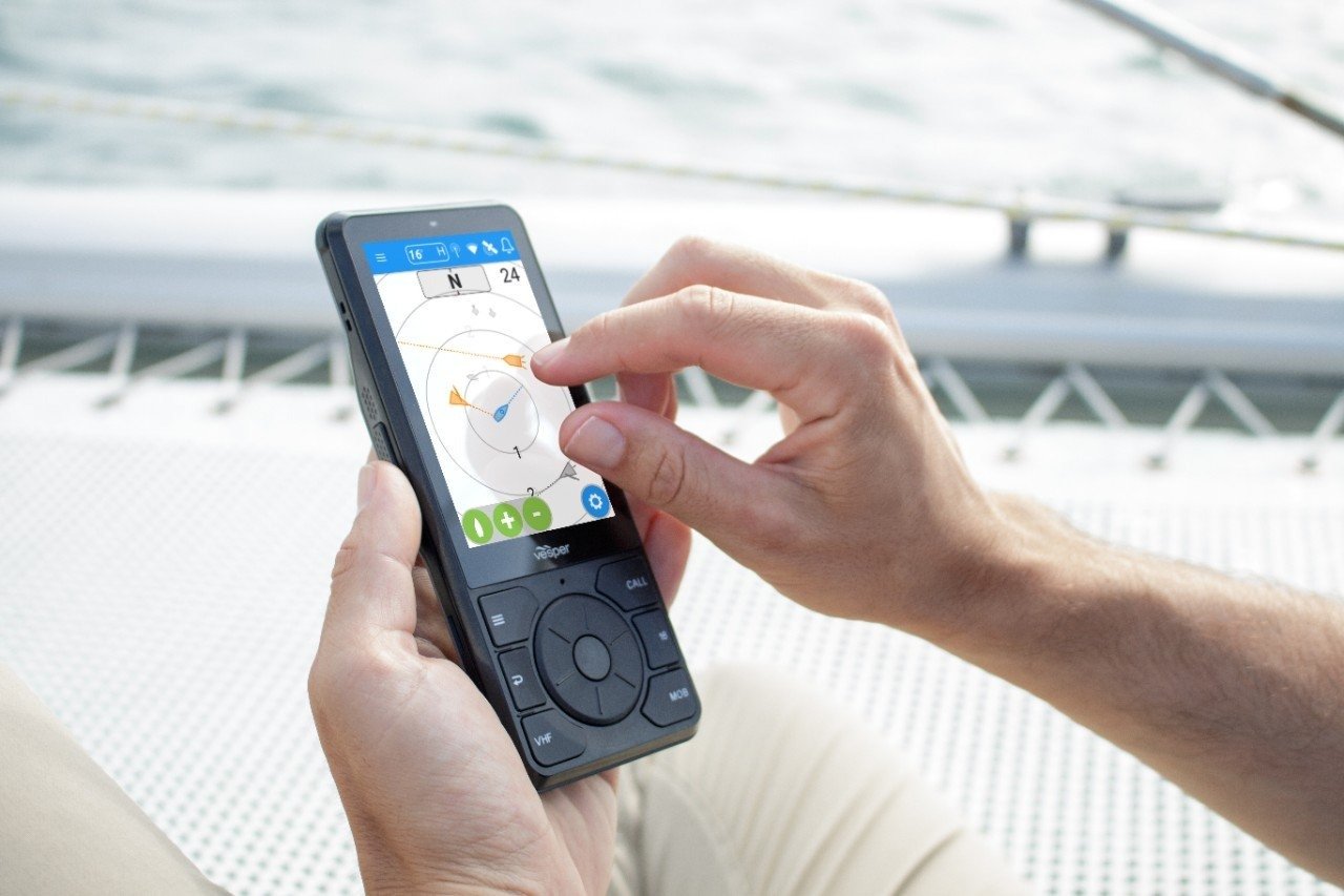
For sailing customers, a compelling array of wind-maximising features are now available. A new pre-race guidance page displays a virtual starting line on the chart, along with data fields showing laylines, time to burn before the start, and a race countdown timer that can be synchronized across all networked Garmin GPS products.
In addition, other supported sailing features include an enhanced wind rose, heading and course-over-ground lines, set and drift, true and apparent wind data, and more. These new sailing enhancements are available on all GPSMAP 8000, GPSMAP 7400/7600, and GPSMAP 8×0/10×0 product lines.
An exclusive SOS safety assist feature is now available on a number of Garmin’s GPSMAP 8000 and GPSMAP 7400/7600 series network chartplotters. This impressive feature makes it easier for anyone to quickly call the Coast Guard for help in an emergency situation. A simple SOS button is now available on the chartplotter’s touchscreen display, and when pressed users are instantly presented with a list of possible emergency situations.
Once the applicable choice has been selected, the screen will provide a Coast Guard-approved VHF radio distress call script, along with the ship’s current GPS coordinates, that can be read off to responders – thus saving essential time, averting panic on-board, and providing the essential information needed by rescuers to assure the best possible outcome.
In addition many Garmin GPSMAP devices will now support several recently introduced Garmin products, including the GHP™ Reactor™ Autopilot series, GMR™ xHD2 open-array radars, and the GSD™ 25 black-box sounder.
This software update is free and available now for the following product lines: GPSMAP 8000, GPSMAP 7400/7600, GPSMAP 8×0/10×0, GPSMAP 5×7/7×1, as well as the full echoMAP series.
Download the update here.
Notes to editors:
For further press information, please contact Amy Hutson or Abbie Whitehouse on 01460 241641 or email [email protected] or [email protected].
About Garmin International Inc.
Gamin International Inc. is a subsidiary of Garmin Ltd. (Nasdaq: GRMN), the global leader in satellite navigation. Since 1989, this group of companies has designed, manufactured, marketed and sold navigation, communication and information devices and applications – most of which are enabled by GPS technology. Garmin’s products serve automotive, mobile, wireless, outdoor recreation, marine, aviation, and OEM applications. A component of the S&P 500 index, Garmin Ltd. is incorporated in Switzerland, and its principal subsidiaries are located in the United States, Taiwan and the United Kingdom. Garmin is a registered trademark of Garmin Ltd. or its subsidiaries. All other brands, product names, company names, trademarks and service marks are the properties of their respective owners. All rights reserved.
Notice on forward-looking statements:
This release includes forward-looking statements regarding Garmin Ltd. and its business. All statements regarding the company’s future product introductions are forward-looking statements. Such statements are based on management's current expectations. The forward-looking events and circumstances discussed in this release may not occur and actual results could differ materially as a result of known and unknown risk factors and uncertainties affecting Garmin, including, but not limited to, the risk factors listed in the Annual Report on Form 10-K for the year ended December 29, 2012, filed by Garmin with the Securities and Exchange Commission (Commission file number 0-31983). A copy of such Form 10-K is available at http://www8.garmin.com/company/investors/SEC/. No forward-looking statement can be guaranteed. Forward-looking statements speak only as of the date on which they are made and Garmin undertakes no obligation to publicly update or revise any forward-looking statement, whether as a result of new information, future events, or otherwise.