Which inReach Device is Right for You?
Note: The following recommendations are suggestions only. Each inReach® device can suite a variety of uses and the best match might depend on other criteria not covered in this article. The following are some of the top survey-reported subscriber activities, but this is not a comprehensive list.
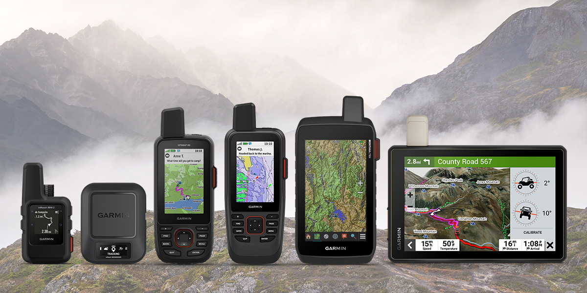
The Garmin inReach satellite communicator product line is growing. Find out which device is right for you based on your favourite activities.

Hiking, Backpacking & Climbing
Are you focused on packing light for fast-paced trips or on navigation features?
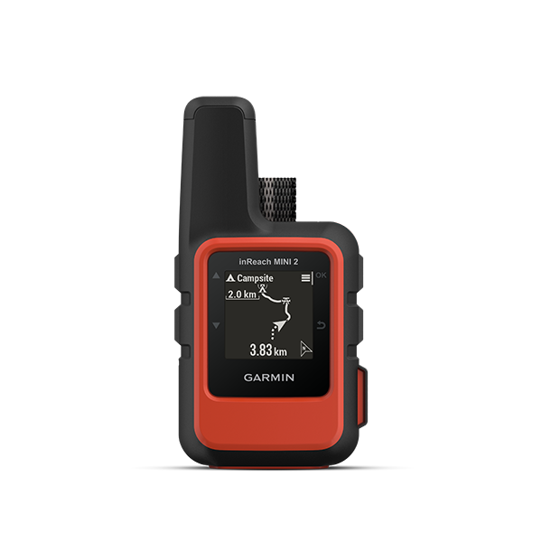
Light and Compact
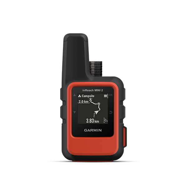
- Basic breadcrumb map only (view detailed maps on Garmin Explore™ app)
- Digital compass
- Battery life up to 14 days (10-minute tracking)
On-Device Maps
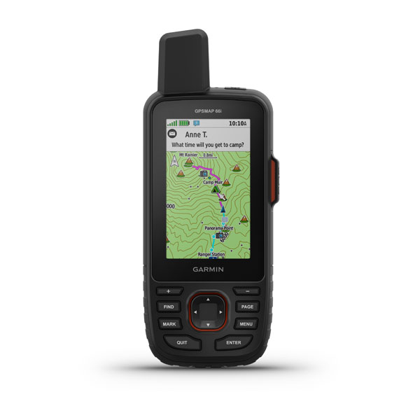
- On-device maps (TopoActive & Birdseye)
- Altimeter, barometer, 3-axis compass
- Automatic routes for outdoor activities
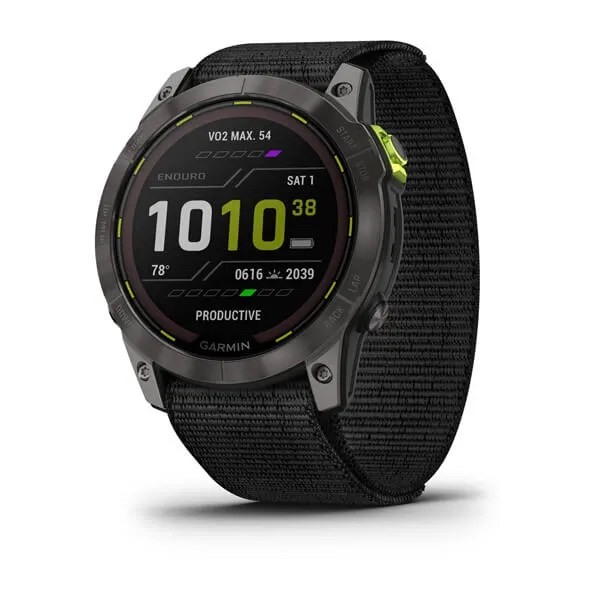
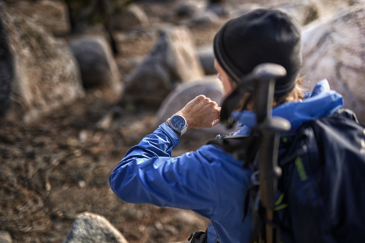
Interested in pairing with a compatible Garmin adventure watch?
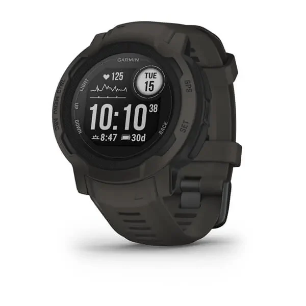
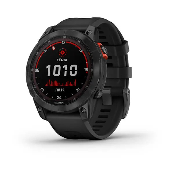
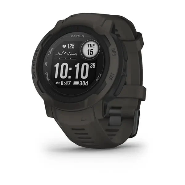
Choose Instinct 2 or fēnix® 7
- View messages and control inReach features from your wrist with the inReach remote widget

Trail Running
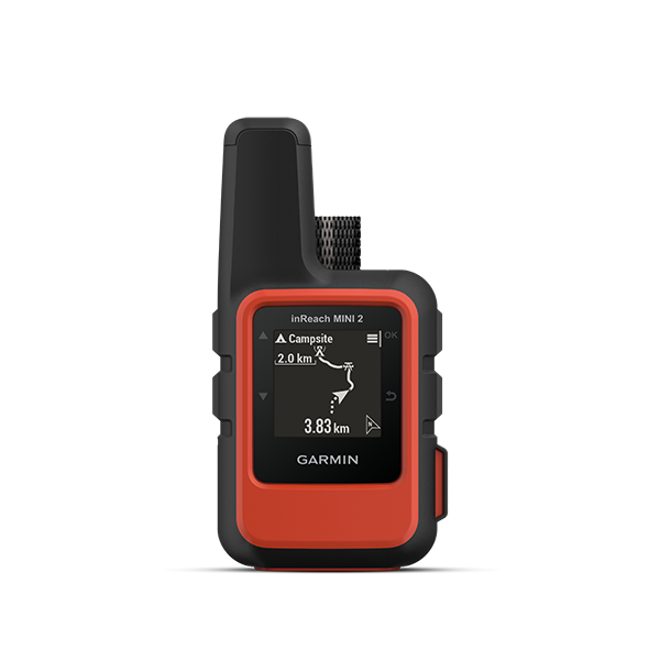
- Lightweight at only 3.5 oz
- GPS and compass navigation
- Pairs to compatible Garmin watches to send and receive messages and trigger an SOS from your wrist
Interested in additional fitness data or navigation features?

Cycling
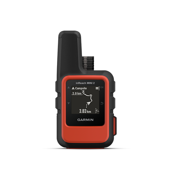
- Lightweight & easy to fit in jersey pocket or clip to pack
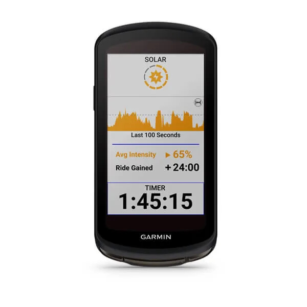
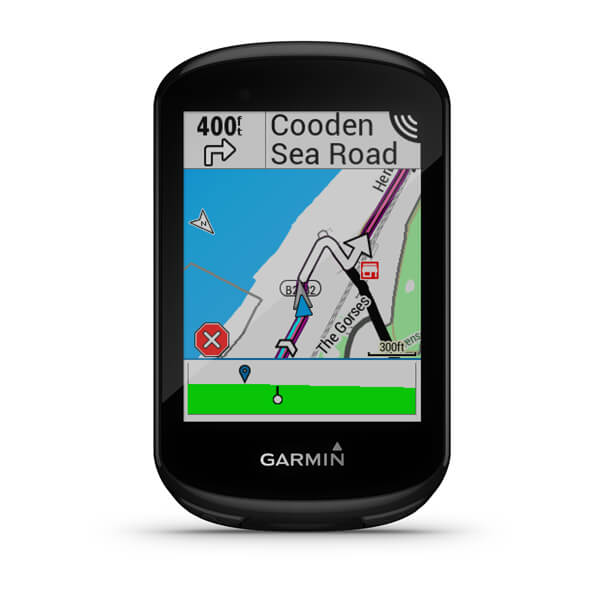
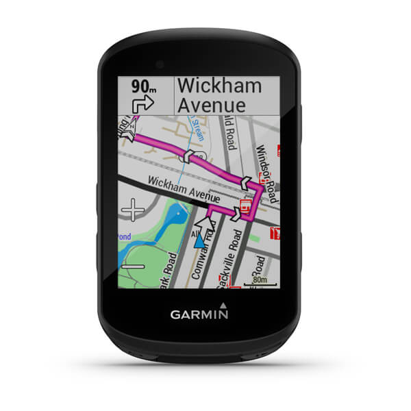
- Pairs to compatible Garmin Edge® bike computers to send and receive messages and trigger an SOS from your Edge device
Interested in additional cycling features and mapping?

Fishing
What types of weather conditions will you be fishing in? Do you need on-device topo maps?
Mild Conditions/Limited Mapping
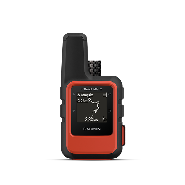
- Basic breadcrumb map only
- View detailed maps on Garmin Explore app
Harsh Conditions/Detailed Mapping
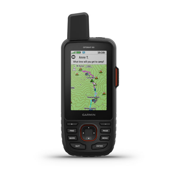
- TopoActive and Birdseye maps
- Can add maps and charts
- Sun/Moon & Fish calendar

Off-roading & Snowmobiling
Do you have external power? Do you need overlanding features?
External Power/Overlanding Features
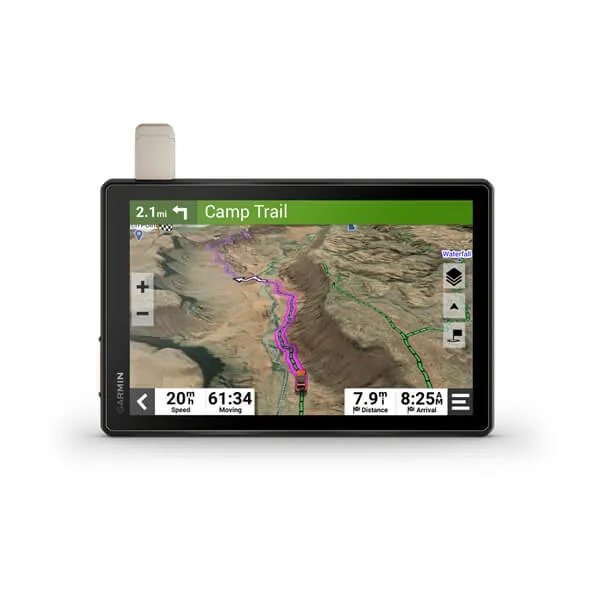
- Dual orientation touchscreen
- 8″ and 10″ models available
- Off-roading specific features
- Customisable navigation (selected models)
- Backup camera compatible
Longer Battery Life/Multipurpose Use
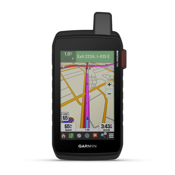
Montana 700i or 750i
- Dual orientation for multipurpose use
- Up to 18 hours standalone battery life
- Fish specific features
- TopoActive and City Navigator maps
- Powered mounting options available

Skiing, Snowboarding & Snowshoeing
Will you need to navigate or message while wearing gloves?
Easier, On-Device Messaging
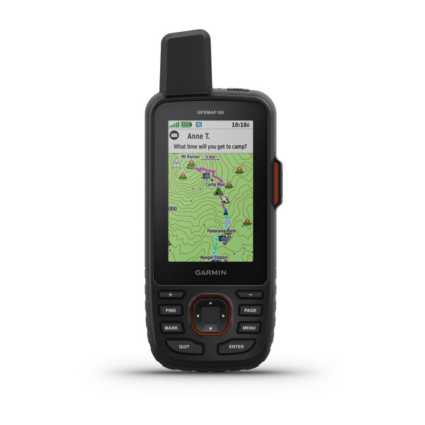
- Larger screen and buttons for easier text entry
- Virtual QWERTY keyboard
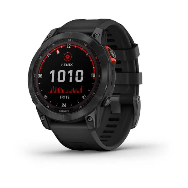
Looking for additional ski features?

Flying
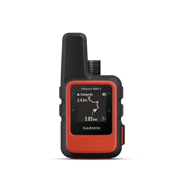
- Compatible with the Garmin Pilot™ app
- Supported devices for the Leidos Flight Services Adverse Condition Alerting Service (ACAS), Surveillance-Enhanced Search and Rescue (SE-SAR) and Enhanced Special Reporting Services (eSRS)
Do you use the Garmin Pilot app?
Garmin Pilot App
- Puts full-featured navigation, aviation weather, DUAT(S) flight plan filing and electronic flight bag capabilities on your compatible mobile device
- Pair Garmin Pilot with an inReach Mini or inReach Explorer+ to send and receive text messages, use the inReach GPS data and share your trip via MapShare

Boating & Sailing
What type of vessel do you have? Do you have other Garmin marine products?
Paired with Other Products
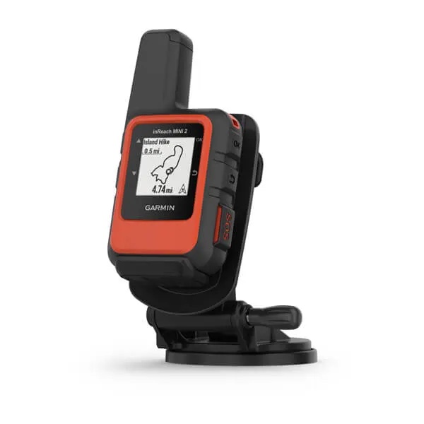
- Bundle with mount and power cable
- Pairs with compatible Garmin chartplotters
- inReach Mini dive case available
- inReach Messenger also pairs with compatible chartplotters
Standalone or Paired
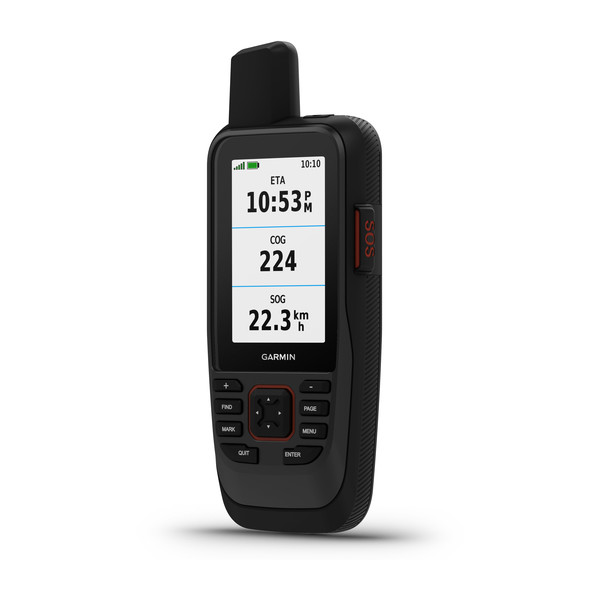
- Water-resistant, floating design
- Stream boat data from compatible chartplotters and instruments
- Supports optional BlueChart® g3 charts

Kayaking, Canoeing & Rafting
Where will you be paddling? Do you need on-device mapping or navigation features?
More Frequent Navigation
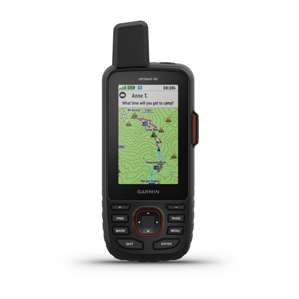
- TopoActive & Birdseye
- Ability to add maps
- Searchable points of interests
More Frequent Navigation
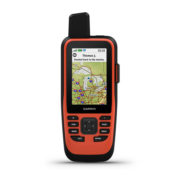
- Water-resistant, floating design
- Supports optional BlueChart® g3 charts

Driving & Motorcycling
What type of vehicle will you be using?
Motorcycle
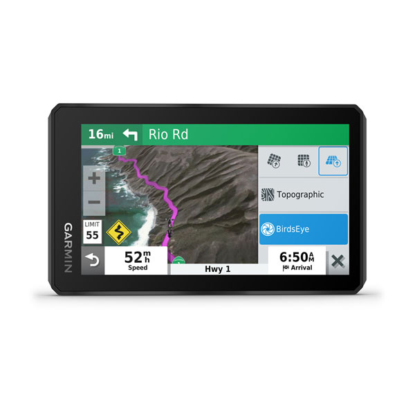
inReach Messenger & zumo® XT
- Motorcycling specific features & maps
- Handsfree calling (with Garmin Drive™ app)
- Incident notifications
- Pairs with inReach Mini 2
Car/Truck
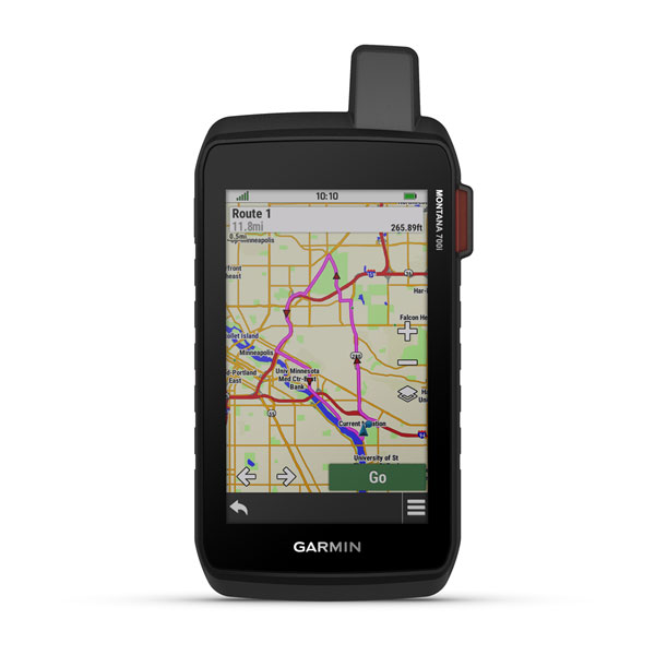
Montana 700i or 750i
- inReach technology built-in
- Dual orientation for multipurpose use
- Searchable points of interest
- Preloaded City Navigator Maps with turn-by-turn directions

Travelling/Camping/Remote Living
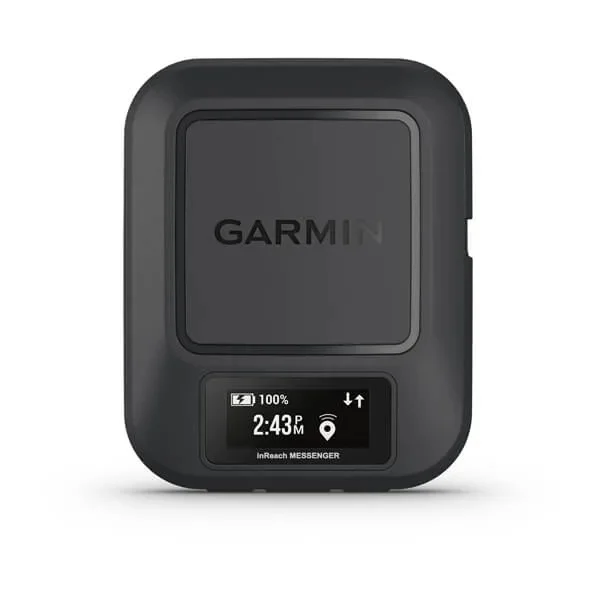
- Discrete with a small, lightweight design
- Use Garmin Messenger app for group messaging and automatic switching between Wi-Fi®, mobile and satellite networks for seamless on- or off-grid connectivity
- Share your trip progress with others via MapShare™
Do you use MapShare?
- A web-based map page to allow friends and family to see your trip progress
- Set parameters on what is shown on the map
- Allows map viewers to message your inReach device directly
NOTICE: To access the Iridium satellite network for live tracking and messaging, including SOS capabilities, an active satellite subscription is required. Some jurisdictions regulate or prohibit the use of satellite communications devices. It is the responsibility of the user to know and follow all applicable laws in the jurisdictions where the device is intended to be used.
